Fájl:LocationSouthAmerica.png
 Az előnézet mérete: További felbontások: | | | | .
Eredeti fájl (2 759 × 1 404 képpont, fájlméret: 101 KB, MIME-típus: image/png)
|
Ez a fájl a Wikimedia Commonsból származik. Az alább látható leírás az ottani dokumentációjának másolata. A Commons projekt szabad licencű kép- és multimédiatár. Segíts te is az építésében! |

|
Ez a kép elérhető vektorgrafikus (SVG) változatban is. Ha jobb minőségű, azt használd e helyett a raszterkép helyett.
File:LocationSouthAmerica.png → File:Location of South America.svg
A vektorgrafikáról a Help:SVG oldalon találsz információkat.
|

|
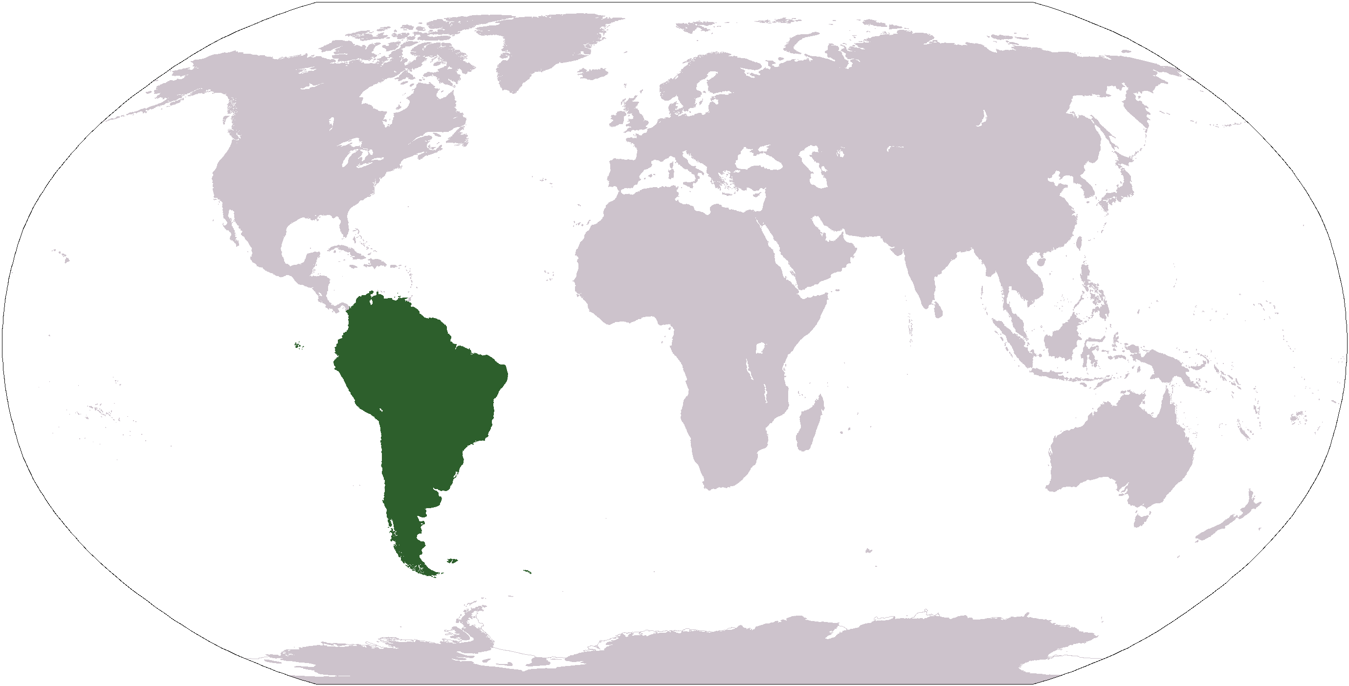
| LeírásLocationSouthAmerica.png | Deutsch: Weltkarte mit Fokus auf Südamerika English: World map depicting South America Esperanto: Mondmapo bildiganta Sudamerikon Español: Ubicación de América del Sur |
| Dátum | 2007. augusztus 1., 08:55 (UTC) |
| Forrás | map adapted from PDF world map at CIA World Fact Book |
| Szerző | Central Intelligence Agency, Maximaximax, Ghalas, Huhsunqu, E Pluribus Anthony, Cogito ergo sumo, and Snoopen82 (via Image:LocationSouthAmerica2.png per this request) |
| Más változatok |
Származékos művek: Wikinews Ameryka Południowa.png Formerly Image:LocationSouthAmerica2.png. |
| This image is in the public domain because it contains materials that originally came from the United States Central Intelligence Agency's World Factbook.
|

|
Képaláírások
magyarAdj meg egy egysoros magyarázatot arról, hogy mit mutat be ez a fájlA fájl által ábrázolt elemek
mű tárgyalétrejöttének ideje1. augusztus 2007internetmédia-típusimage/pngFájltörténet
Kattints egy időpontra, hogy a fájl akkori állapotát láthasd.
| Dátum/idő | Bélyegkép | Felbontás | Feltöltő | Megjegyzés | |
|---|---|---|---|---|---|
| aktuális | 2008. január 19., 14:39 | | 2 759 × 1 404 (101 KB) | F l a n k e r | Transparency |
| 2007. augusztus 16., 20:03 |  | 2 759 × 1 404 (46 KB) | Jeff G. | Updated version without Panama per Commons:Administrators' noticeboard/Attention#Move_image_request_Image:LocationSouthAmerica2.png_to_Image:LocationSouthAmerica.png_.28user_account_too_new.29 | |
| 2006. szeptember 10., 06:50 |  | 2 759 × 1 404 (55 KB) | Cogito ergo sumo~commonswiki | World map: South America (location) | |
| 2006. január 22., 06:48 |  | 2 759 × 1 404 (55 KB) | E Pluribus Anthony~commonswiki | World map: South America (location) | |
| 2006. január 16., 00:34 |  | 1 381 × 703 (48 KB) | Huhsunqu | ||
| 2005. április 29., 14:33 |  | 1 381 × 703 (16 KB) | Ghalas | Half the size {{PD-USGov-CIA-WF}} | |
| 2005. április 28., 10:32 |  | 2 759 × 1 404 (39 KB) | Ghalas | Extracted from CIA World Factbook PDF world map, then rasterized and colored. {{PD}} | |
| 2004. december 29., 07:33 |  | 250 × 116 (11 KB) | Maximaximax | Location of South America (from en:) {{GFDL}} |
Fájlhasználat
Az alábbi lapok használják ezt a fájlt:
Globális fájlhasználat
A következő wikik használják ezt a fájlt:
- Használata itt: ace.wikipedia.org
- Használata itt: af.wikipedia.org
- Használata itt: als.wikipedia.org
- Használata itt: am.wikipedia.org
- Használata itt: ang.wikipedia.org
- Használata itt: ar.wikipedia.org
- Használata itt: ar.wikinews.org
- Használata itt: arz.wikipedia.org
- Használata itt: as.wikipedia.org
- Használata itt: azb.wikipedia.org
- Használata itt: az.wikipedia.org
- Használata itt: bat-smg.wikipedia.org
A fájl globális használatának megtekintése